US Map image
USA map image with area coords (clickable states)
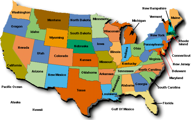
Download USA Map Image

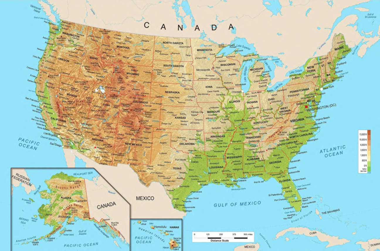
Download physical map of the US
Azimuthal or Lambert equal area projection. Showing geographic names, rivers, mountain ranges, major cities, etc.
Last updated on April 09, 2024